

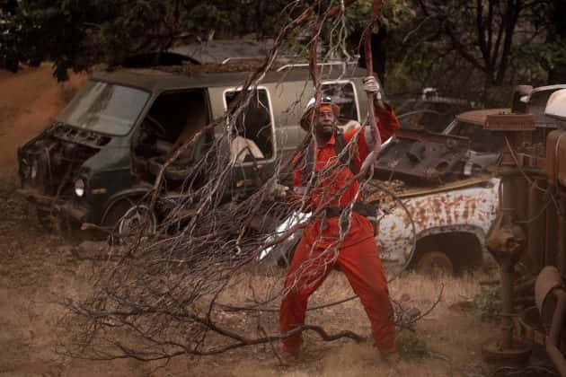

An inmate firefighter clears brush to create a fire break while battling the Ferguson Fire in unincorporated Mariposa County, Calif, on Monday, July 16, 2018. (AP Photo/Noah Berger)
Fire crews are struggling to contain the Ferguson Fire near Yosemite National Park, which originated on Friday, July 13th. The fire has burned over 22-thousand acres and is only seven-percent contained. There are over twenty-seven hundred firefighters working on the blaze, but it’s burning in rough terrain, making it difficult for crews to get near it. One firefighter was killed fighting the blaze.
Fire Outlook
The Ferguson Fire is burning in very rough terrain with high firefighter exposure due to very hot conditions and limited access requiring heavy rotor wing support. Prior to the Rough Fire, this river canyon held the record for the largest fire on the Sierra NF which burned in 1924. The Incident base for the Ferguson Fire is at the Ahwanee Regional Park.
Weather Concerns
Aircraft utilization has been limited due to a strong inversion. Instability will return to the area Wednesday and persist for several days with an increase in the potential for thunderstorms and outflow winds. Sierra Crest thunderstorms can produce outflow winds that extend all the way to the valley despite being miles away.
Road Closures:
Hwy 140 is closed from 1.9 miles east of Midpines to the Cedar Lodge area MOTORISTS ARE ADVISED TO USE AN ALTERNATE ROUTE.
Mandatory Evacuations:
Areas that are currently under a mandatory evacuation include: El Portal Trailer Court, Incline Rd from Clearing House to the last BLM campground; Jerseydale/ Mariposa Pines; Cedar Lodge/ Indian Flat Campground, Savage’s Trading Post and Sweetwater Ridge.
Incline Rd from Clearing House to the Foresta Bridge
Evacuation Advisory:
This is NOT an Evacuation Order. This is an advisement only of a potential Evacuation Order should conditions change.
• Yosemite West
• Lushmeadows Community
• Ponderosa Basin Community
• Triangle Rd from Jerseydale Rd to Hwy 49 South including all side roads.
• Darrah Rd from Triangle to Sherrod Rd
• East side of Hwy 49S from Darrah Rd to Harris Rd- This includes Boyer Rd, Woodland Area, Wass Rd, Tip Top Rd
• National Park Service El Portal Complex
• Rancheria Flat- Government Housing
• Old El Portal