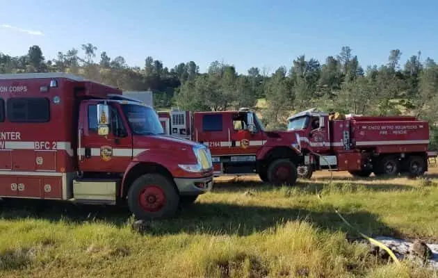
California officials have released updated fire hazard maps for Northern California coastal areas, significantly expanding “very high” and “high” fire severity zones.
The updated maps, the first in over a decade, incorporate new climate data and modeling. They will lead to stricter building codes and planning requirements for property owners in newly designated high-risk areas. Officials emphasize these maps won’t affect insurance rates, but they will guide local jurisdictions in implementing stricter fire safety measures.
Homeowners in these zones will need to use more fire-resistant materials and follow new defensible space guidelines. The state is also developing programs to assist homeowners with these changes. Local jurisdictions have 120 days to review and adopt the new maps.