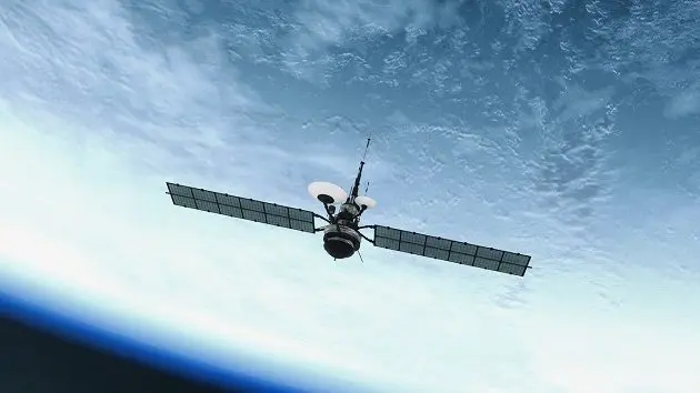
NASA is using satellite data and artificial intelligence to track and predict wildfires in California. The data will be passed along to firefighters in the state to help them identify areas that are the most vulnerable to wildfire. Infrared photos show how much moisture is in the ground and how dry vegetation is. With the use of machine learning, models can be extracted from the data to predict which areas firefighters should consider deploying pre-emptive measures, like controlled burns.